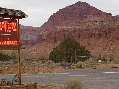
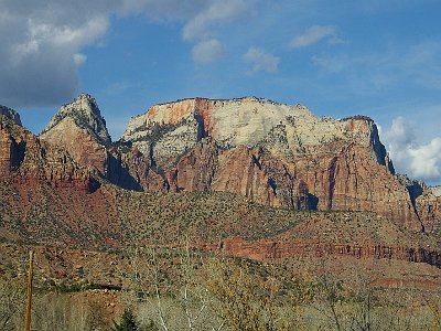
 1 11 April, 2007 Travel to Bryce Canyon It is only 72 miles to Bryce Canyon but it takes nearly 2 hours. We drive through a fabulous tunnel bored through a mountain, 1.7 km long. |
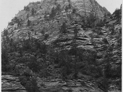 2 This is the East Portal of the Zion-Mt Carmel Tunnel. Construction began in the late 1920's and it was completed in 1930. At the time that the tunnel was dedicated, on July 4, 1930, it was the longest tunnel of its type in the United States. |
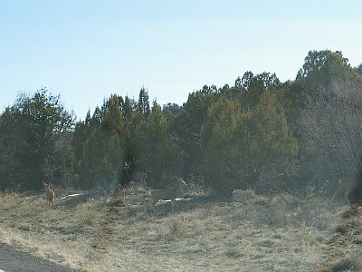 3 It always exciting for us when we see deer |
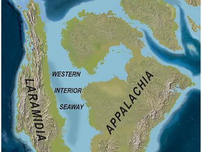 4 For 60 million years during the Cretaceous (145-65 MYa), a great seaway extended northwestward into this area depositing sediments thousands of feet thick. Their remnants form the oldest, lowest, gray-brown rocks at Bryce Canyon. |
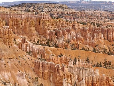 5 This is Sunrise Point just after entering Bryce Canyon NP and it is part of the largest natural amphitheatre in the park. The rock formations in Bryce Canyon began to develop during the Cretaceous 144-65 MYA. The rocks in Bryce Canyon are younger than those in Zion. |
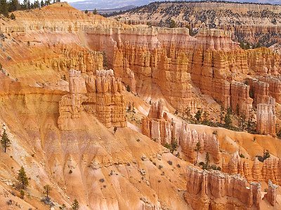 6 In the Tertiary Period, between 66-40 MYA, highlands to the west eroded into shallow, broad basins. Iron-rich, limy sediments were deposited in the beds of a series of lakes and streams. |
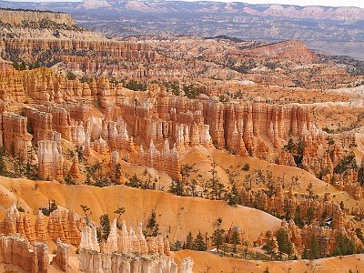 7 These sediments became the reddish rocks of the Claron Formation (the whole) from which the hoodoos (individual columns) are carved and for which the Pink Cliffs (35 miles long) are named. |
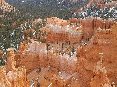 8 The name given to the rock layer that forms hoodoos at Bryce Canyon is the Claron Formation. This layer has several rock types including siltstones and mudstones but is predominantly limestone. These cliffs form the upper riser of the Grand staircase that descends southward from here to the Grand Canyon in Arizona. The balancing rock in the right foreground is called Thor's Hammer. |
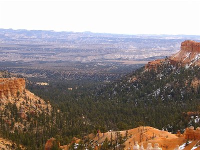 9 Predominantly limestone? Where does limestone come from? So these structures are mostly composed of dead sea creatures? This is the actual Bryce Canyon between Sunrise and Sunset Points. |
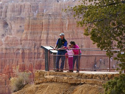 10 The lookout at Sunset Point. |
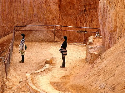 11 Navajo Loop is a walking trail that gives spectacular views of of the whole amphitheatre area. |
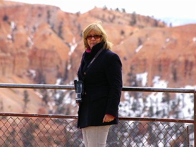 12 Jenni took some great video. |
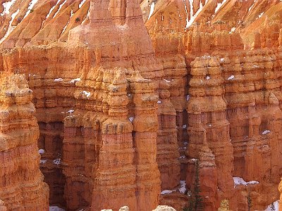 13 Many of the more durable hoodoos are capped with a special kind of magnesium-rich limestone called dolomite. Dolomite is fortified by the mineral magnesium, dissolves at a much slower rate, and consequently protects the weaker limestone underneath it |
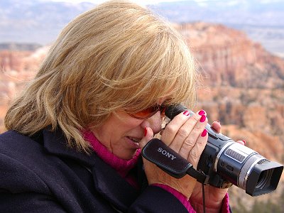 14 My Queen |
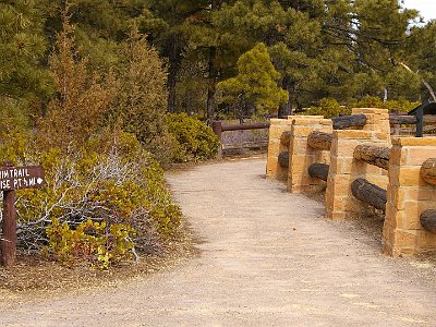 15 The rim trail goes from Sunset Point back to Sunrise point. |
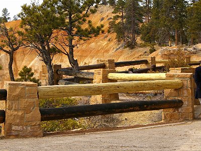 16 From the trail, you get tremendous views of the amphitheatre. |
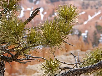 17 This could be a Limber Pine, so named because of its flexibility in winds. These grow at lower elevations in the park. |
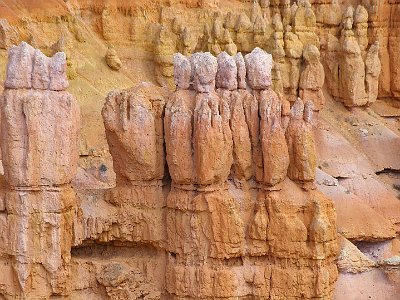 18 The primary weathering force at Bryce Canyon is frost wedging. Structures in the canyon experience over 200 freeze/thaw cycles each year. In the winter, melting snow seeps into the cracks and freezes at night. When water freezes it expands by almost 10%, bit by bit prying open cracks, making them ever wider. |
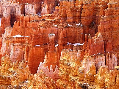 19 In addition to frost wedging, rain also sculpts the hoodoos. Even the crystal clear air of Bryce Canyon creates slightly acidic rainwater (weak carbonic acid) that can slowly dissolve limestone grain by grain. It is this process that rounds the edges of hoodoos and gives them their lumpy and bulging profiles. Where internal mudstone and siltstone layers interrupt the limestone, the rock is more resistant to the chemical weathering because of the comparative lack of limestone. |
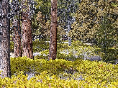 20 The three trees with the brown trunks are Ponderosa Pines. The ones on the right are possibly Junipers. |
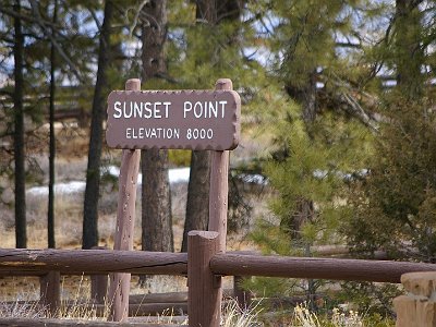 21 Sunset Point is an amazing 8000 ft elevation. No wonder it's cold and there's snow around. |
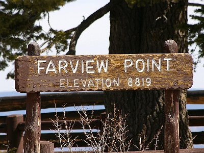 22 At about this altitude, Ponderosa Pines start to give way to Douglas Fir and White Fir. |
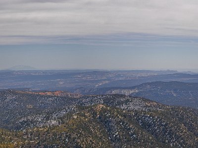 23 The view from Farview Point. Apparently, on a clear day, you can see the Kaibab Plateau of the Grand Canyon - about 150 kms away. |
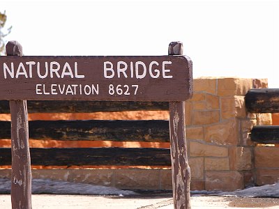 24 We keep driving and reach the Natural Bridge overlook |
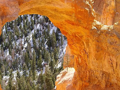 25 True natural bridges are formed by a stream. This is more correctly an arch because it was formed by the action of rain and frost erosion. |
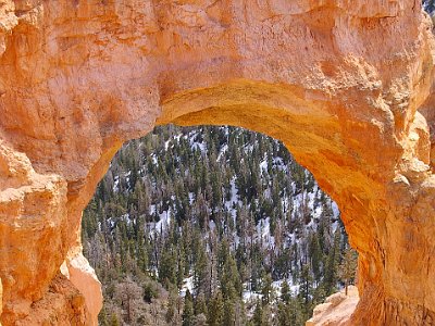 26 No stream runs through here. |
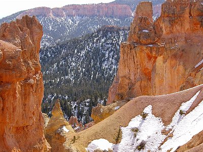 27 Amazing to think that we are at 8600 feet and all of this was at the bottom of the ocean 80 million years ago. The North American continent was still moving into its current location at that time until roughly 20 million years ago. |
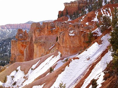 28 As we drive higher, we start to see snow. |
 29 There is still another 10 km to go to the end of the drive. |
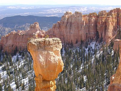 30 This hoodoo is called The Hunter and it has small trees growing on its top. (Viewed from Agua Canyon) |
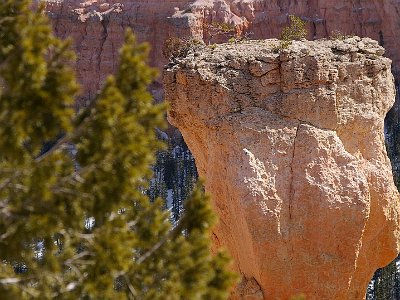 31 A closer picture of the Hunter shows the trees on top. It gives you some idea of the ginormous size of the thing. |
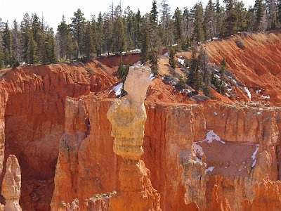 32 This hoodoo is called The Rabbit. Hoodoos don't last very long; the average rate of erosion is calculated at 2-4 feet (.6-1.3 m) every 100 years. Give it a few million years and, poof! no more. |
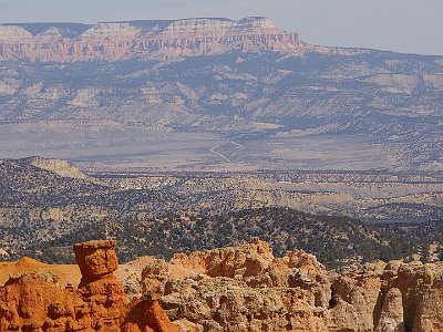 33 In front of us is the Grand Staircase-Escalante National Monument. There are three main regions: the Grand Staircase, the Kaiparowits Plateau (in the distance), and the Canyons of the Escalante (the scar running L to R across the centre). President Bill Clinton designated the area as a national monument in 1996 using his authority under the Antiquities Act. |
 34 Ponderosa Canyon is so named because of the huge Ponderosa Pines on the canyon floor. Some of these trees measure more than 5 ft. in diameter and exceed heights of 150 ft. It is also known as the bull pine, blackjack pine, or western yellow pine. |
 35 It's about 1 km back to Agua Canyon and the trail follows the rim. |
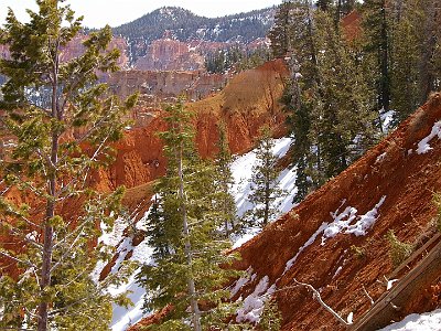 36 The Ponderosa Canyon. Here at Ponderosa Point, Blue Spruce, Douglas-fir and White Fir are the most common tree species. |
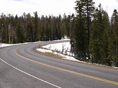 37 The road to Rainbow Point is in perfect condition. |
 38 Continuing on to the end of the road, the elevation drops slightly to 8750 feet. |
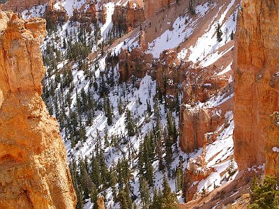 39 Black Birch Canyon. |
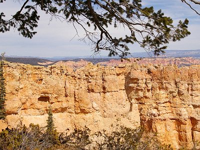 40 Black Birch Canyon. Not red like the formations at lower elevations. |
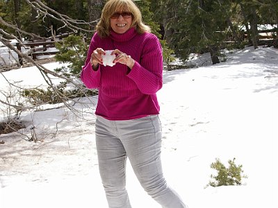 41 There's plenty of snow around as we drive higher. |
 42 |
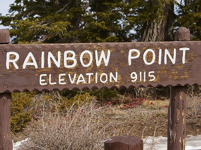 43 We're nearing the end of the road along the canyon rim. |
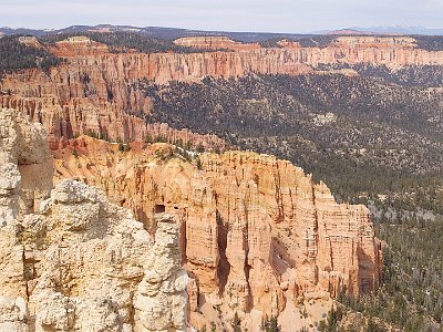 44 From Rainbow Point looking northwards. |
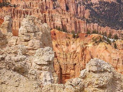 45 Rainbow Point is the highest spot in Bryce and the end of the road. |
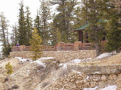 46 The lookout at Rainbow Point. |
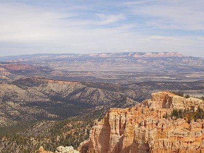 47 On a very clear day, the view supposedly extends into New Mexico about 280 kms away to the east. |
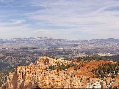 48 Stitched. Vast. Incredible. |
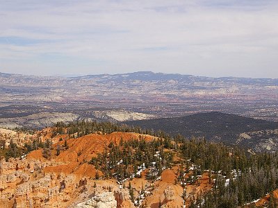 49 The brochure says that you can see Navajo Mountain 130 kms away from Rainbow Point. I think that's Navajo Mountain faintly visible in the far distance in about 1/3 from the left centre. It's actually on the other side of Lake Powell in Utah a few miles north of the Arizona border. |
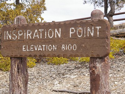 50 On the way up, we missed Inspiration Point. It's the next one along from Sunset Point so we catch it on the way back down. |
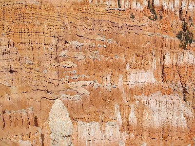 51 Inspiration Point looks into the Bryce amphitheatre. |
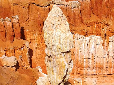 52 This hoodoo looks a bit like a, don't know what it looks like really. |
 53 From Inspiration Point. |
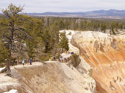 54 We had to walk up the hill to get to Inspiration Point. |
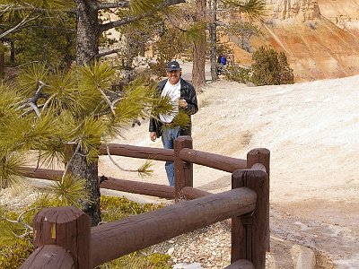 55 This is one of my very favourite spots on earth. This is our third visit here. |
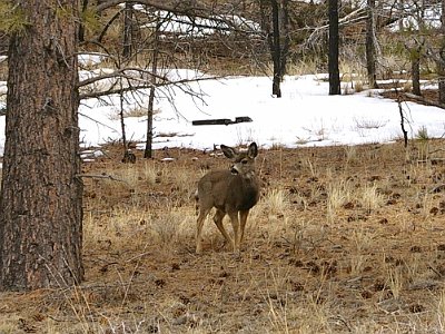 56 On the way out of the park we spot some more deer. |
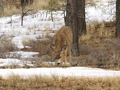 57 Nearing the exit, we spot more deer Capitol Reef is next |
