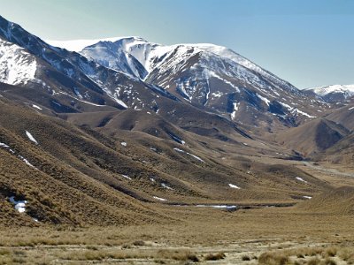
2015 New Zealand
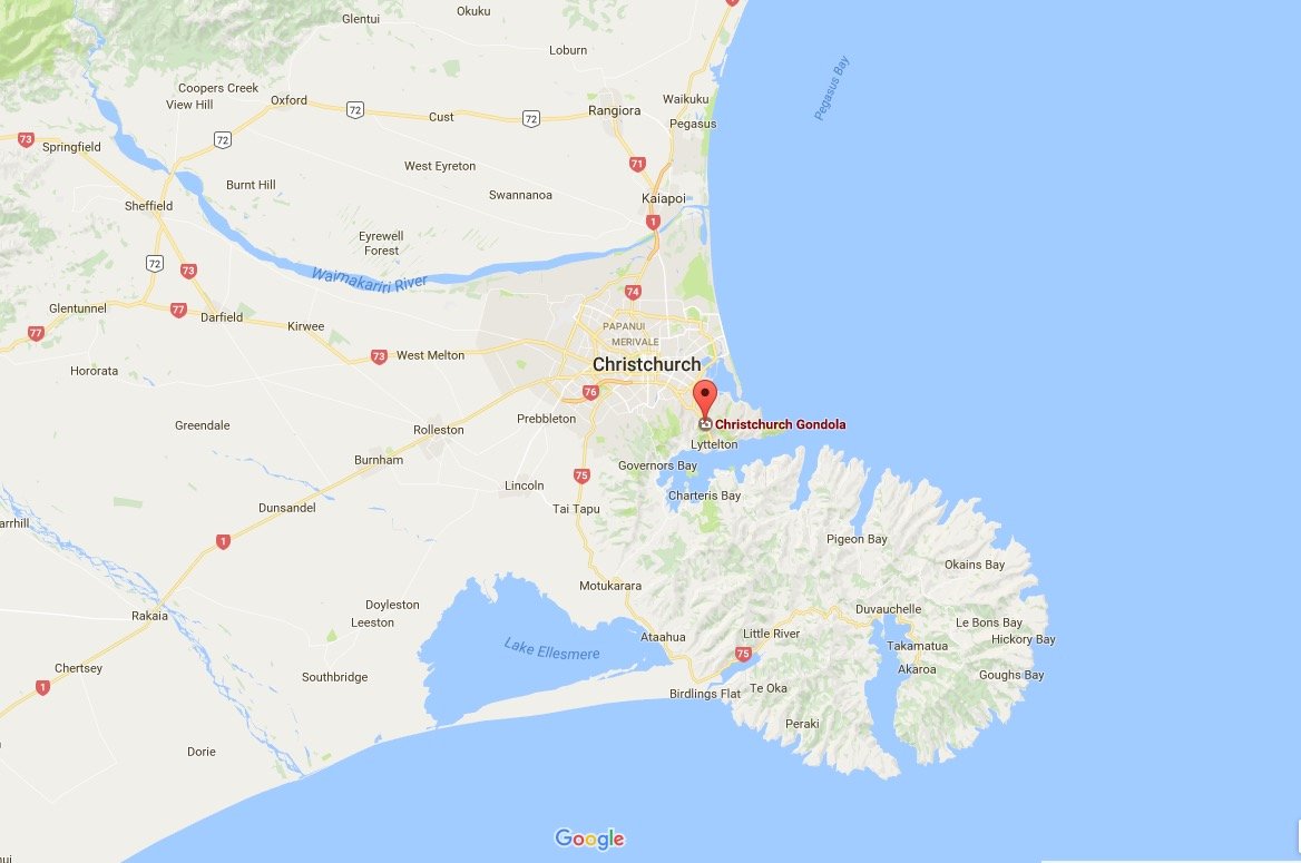
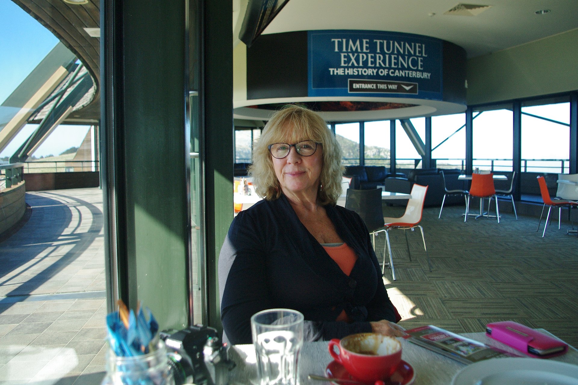
Day 7 - 14/09/2015 Christchurch
2015 New Zealand
Next:
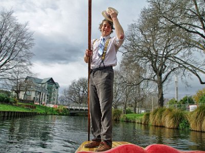
Day 8 - 15/09/2015 Christchurch
Previous:
Day 6 - 13/09/2015 Fairlee