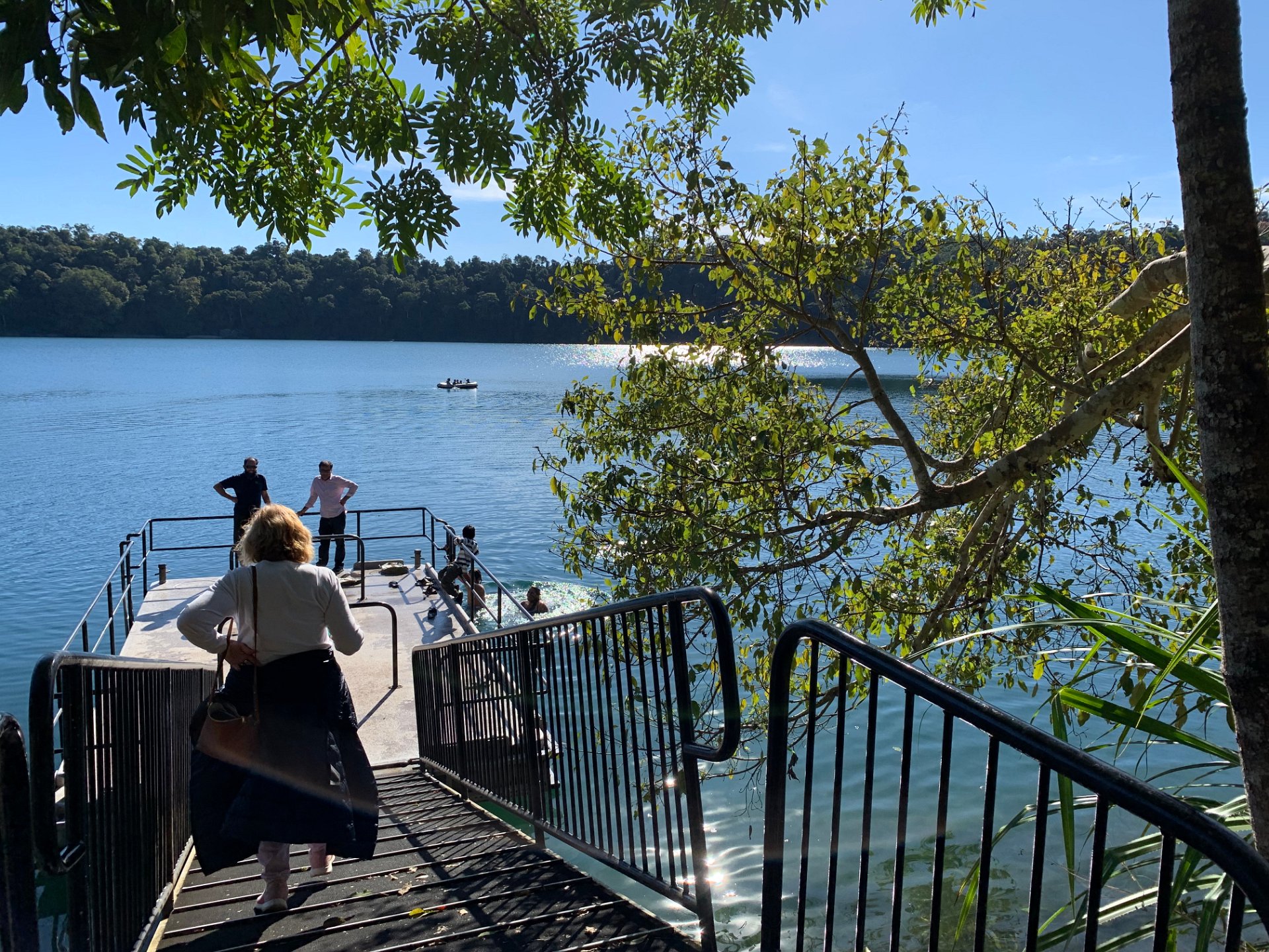
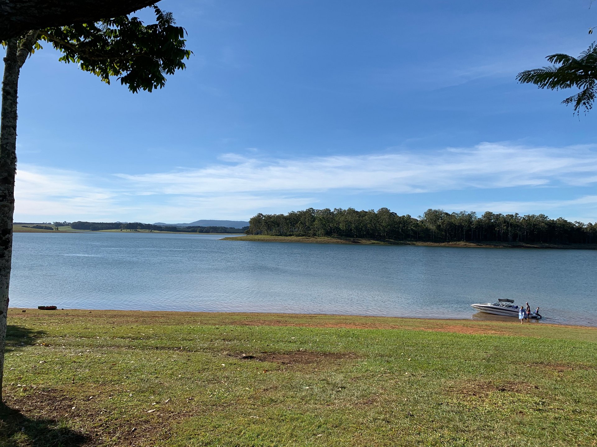
2020 Far North Queensland
Atherton Weekend
2020 Far North Queensland
Next:
Cairns - Mon 20/07/2020
Previous:
To Atherton - Fri 17/07/2020