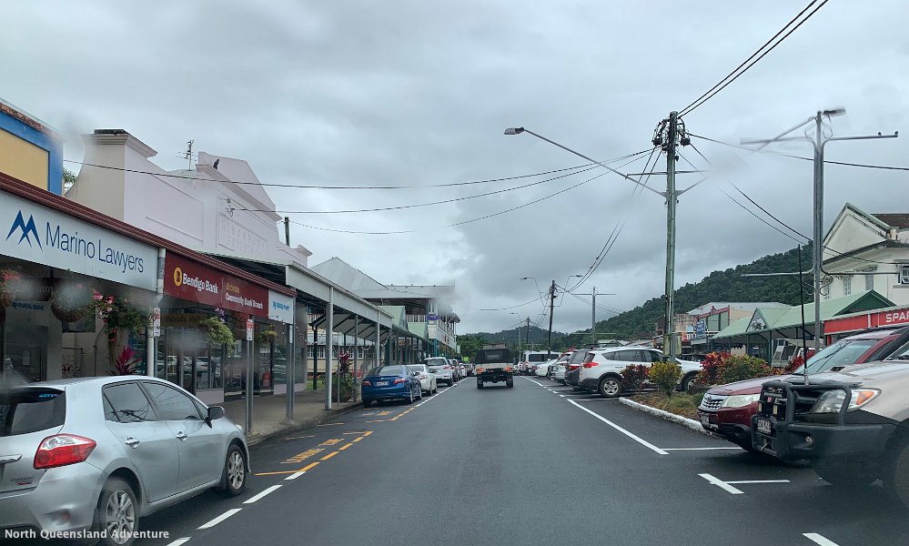
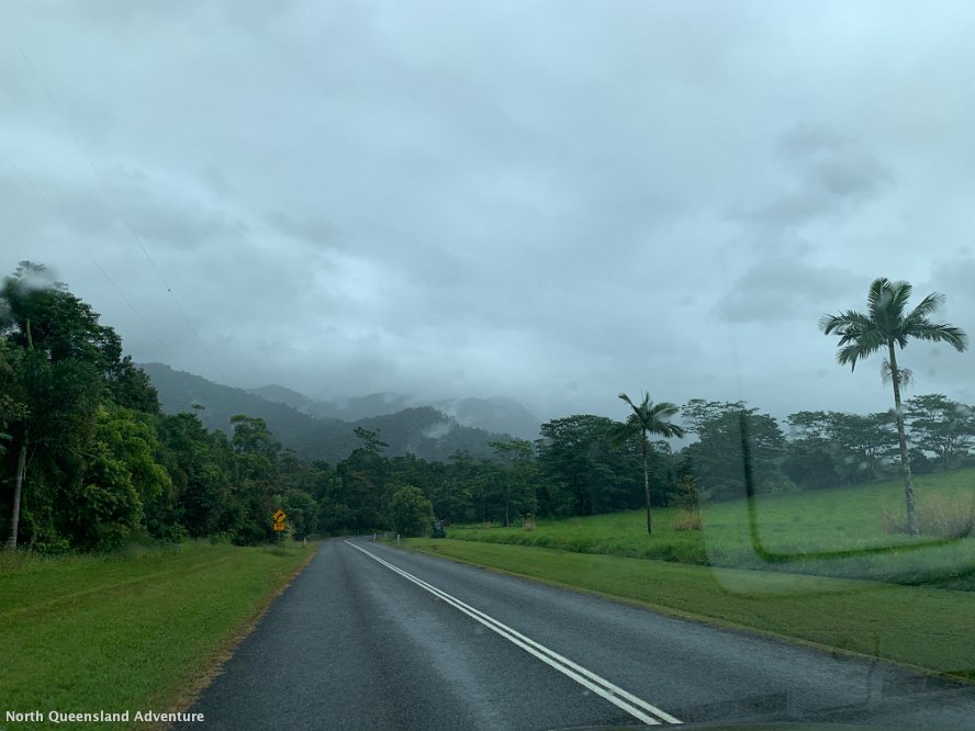
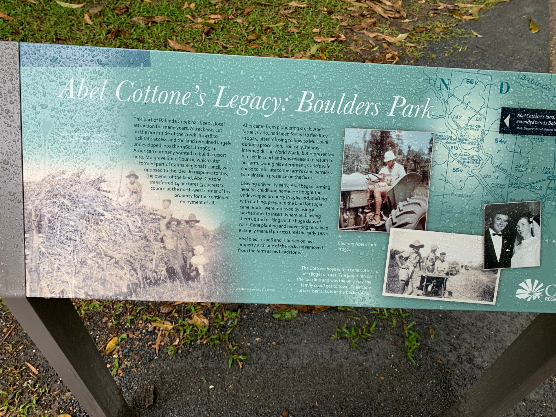
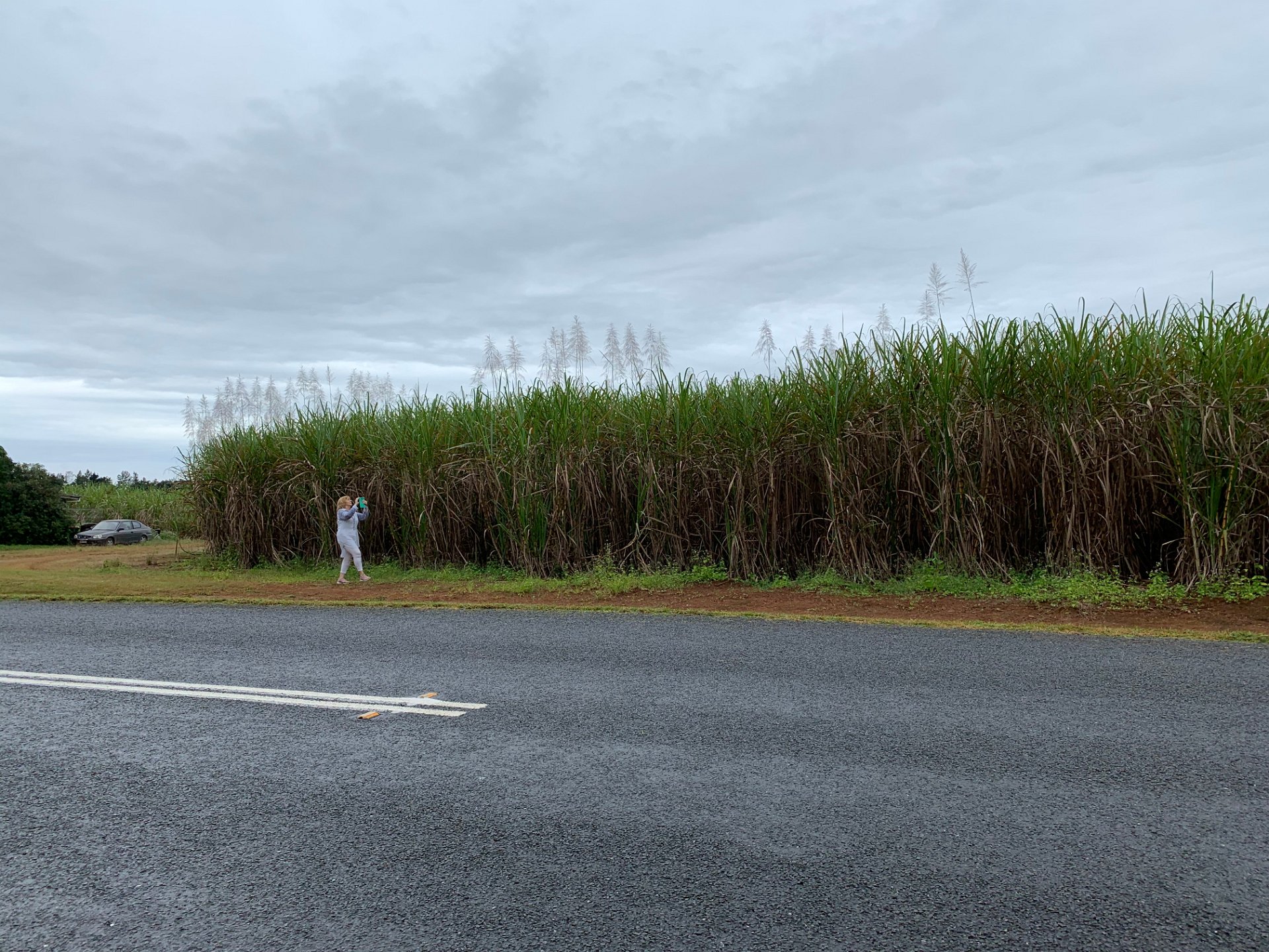
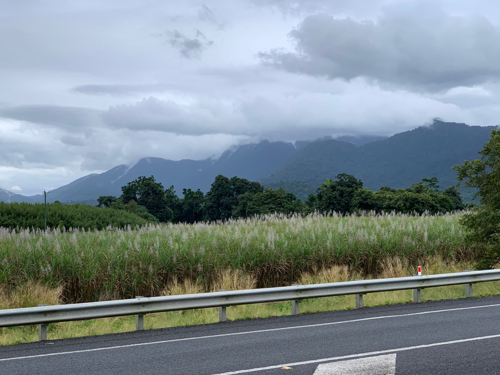
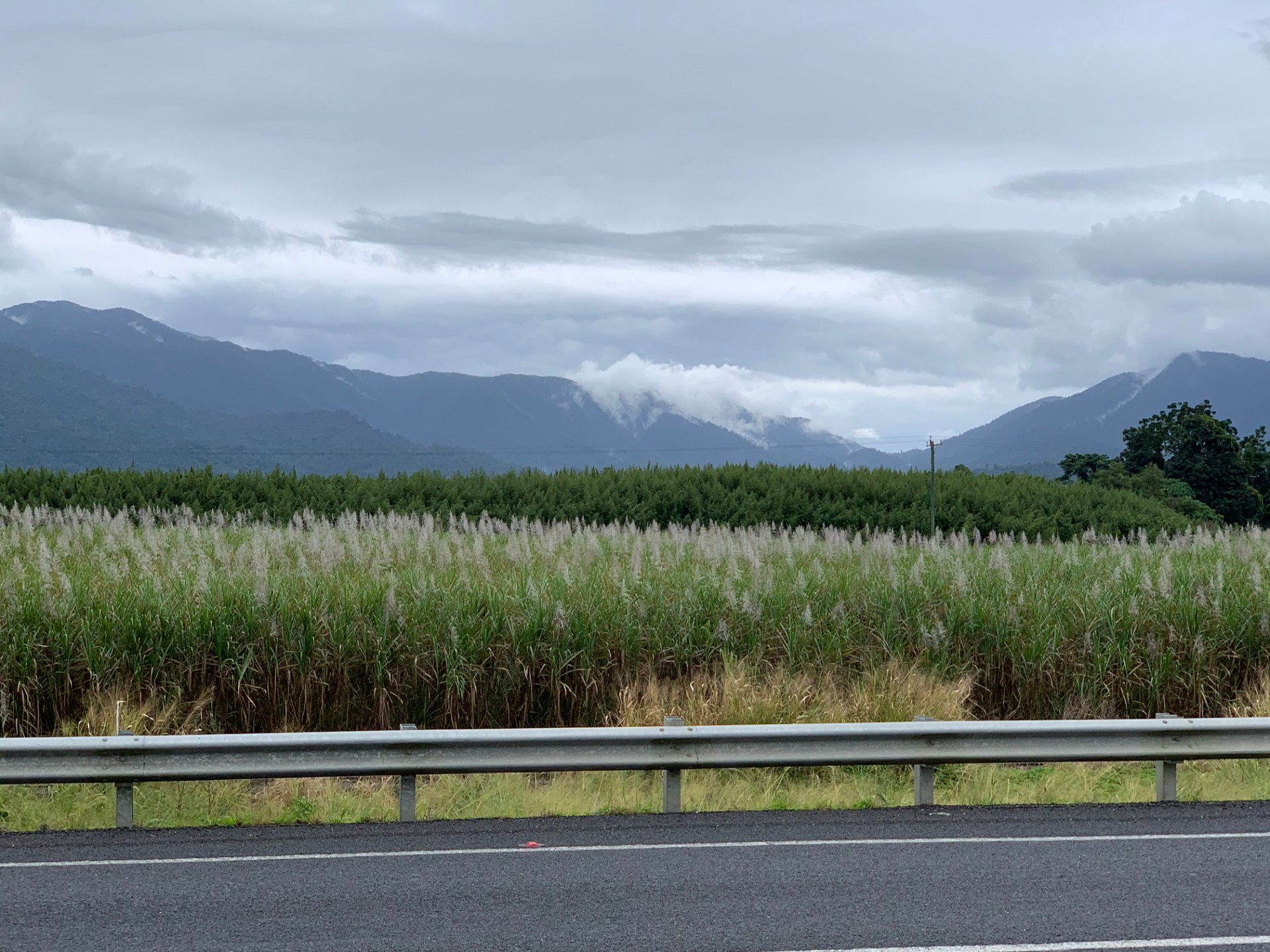
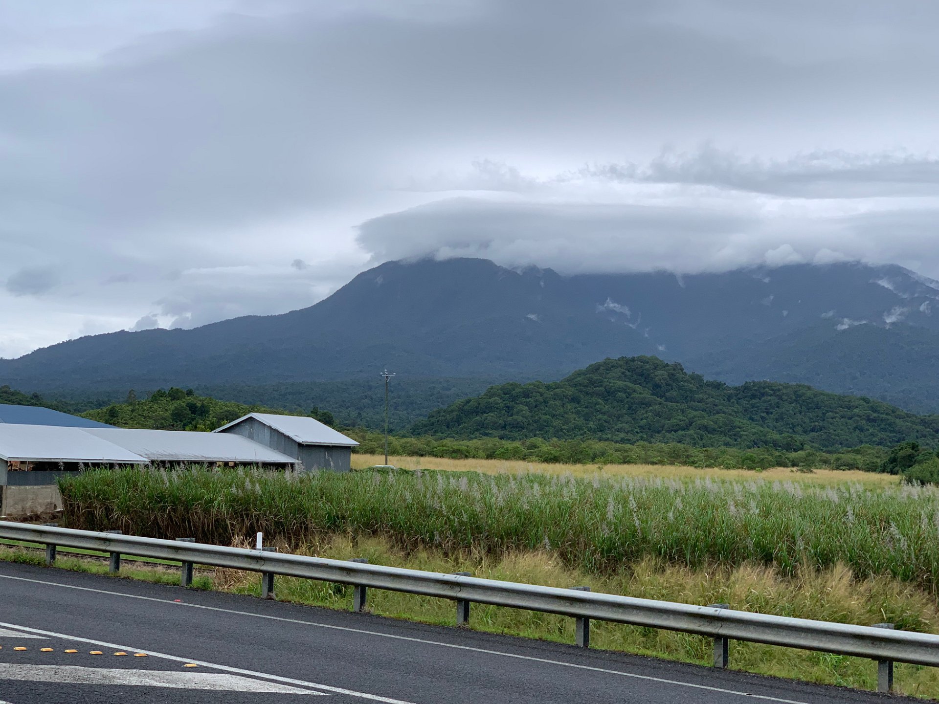
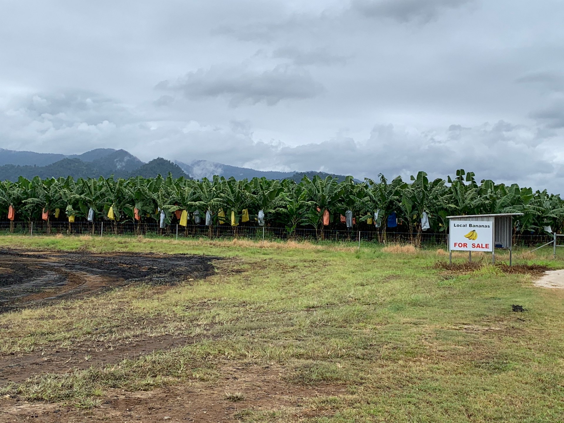
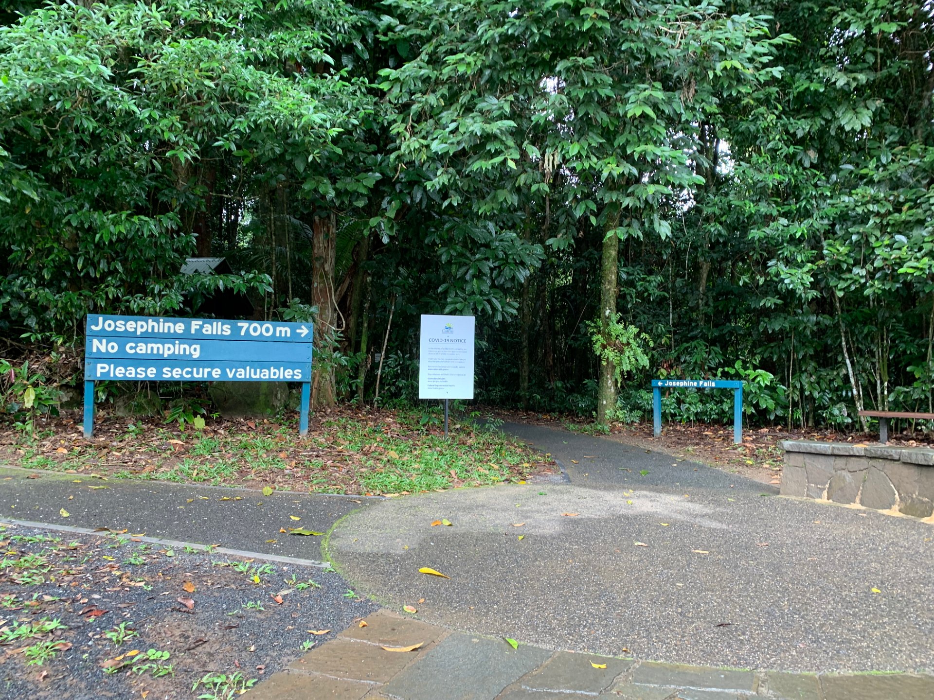
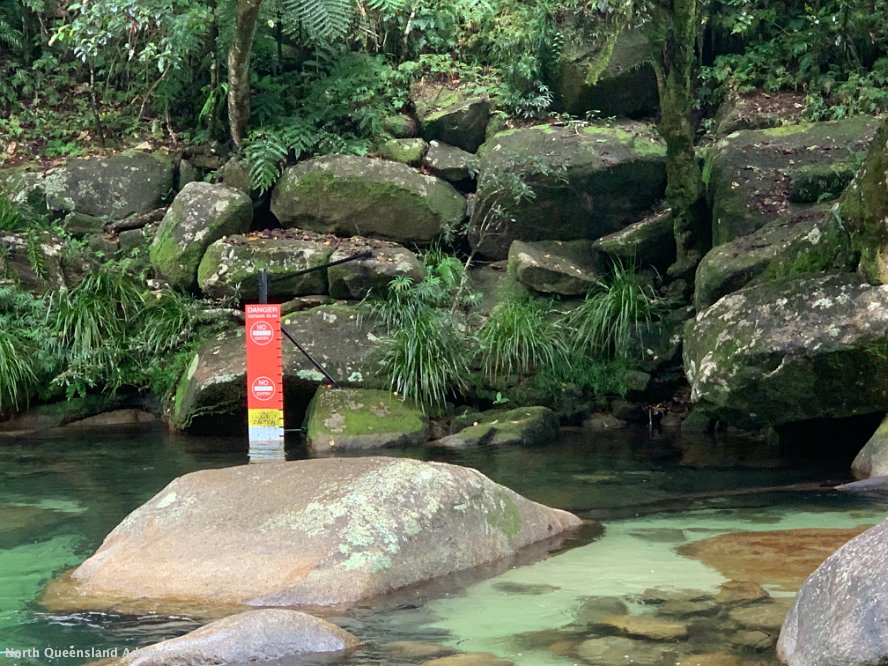
2020 Far North Queensland
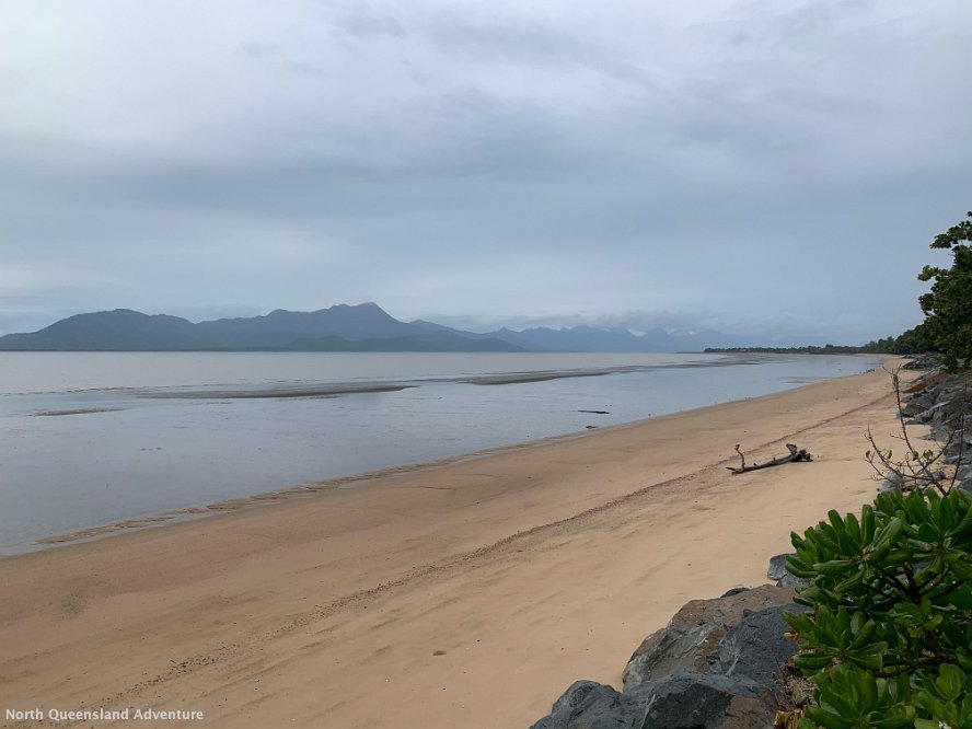
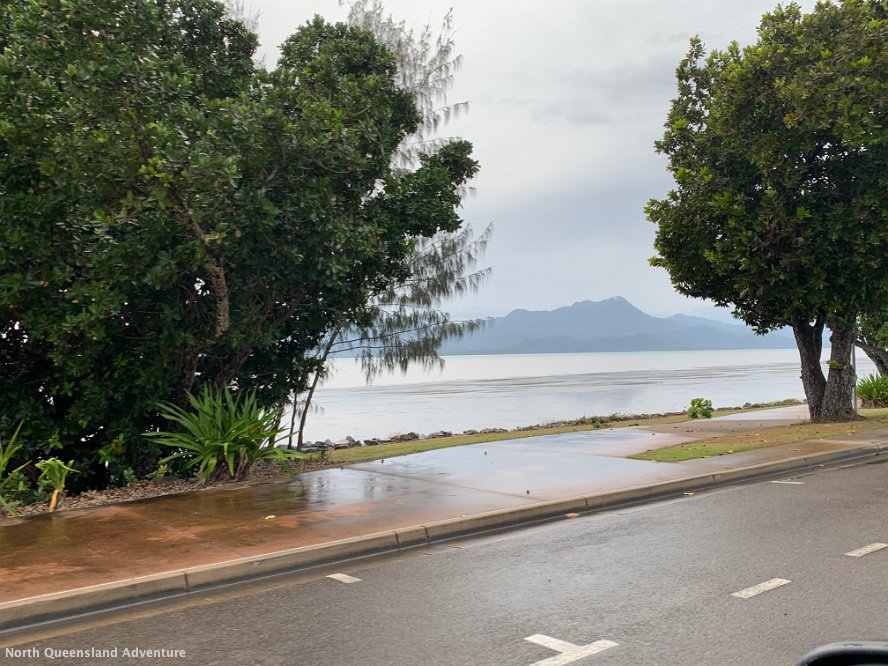
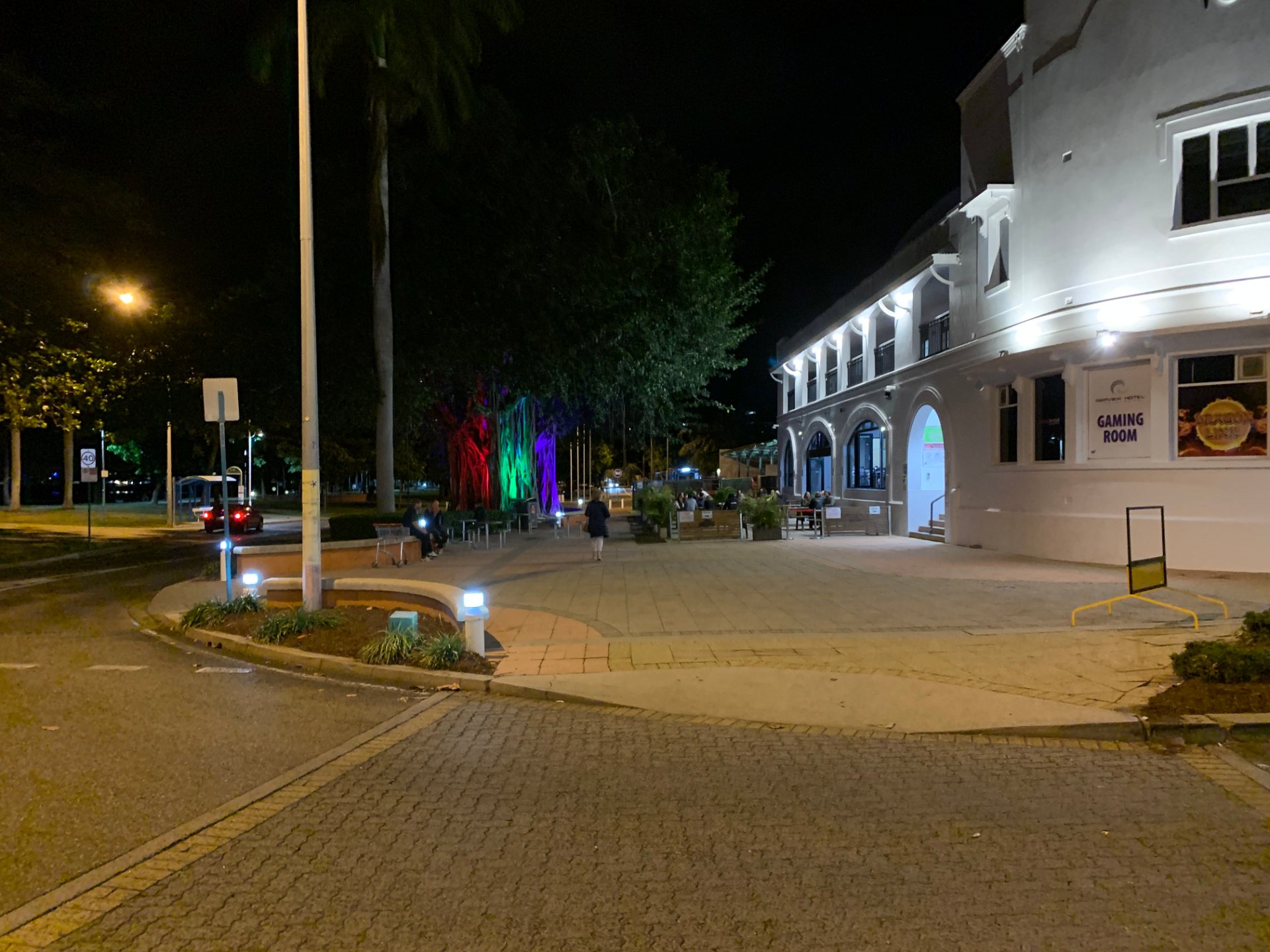
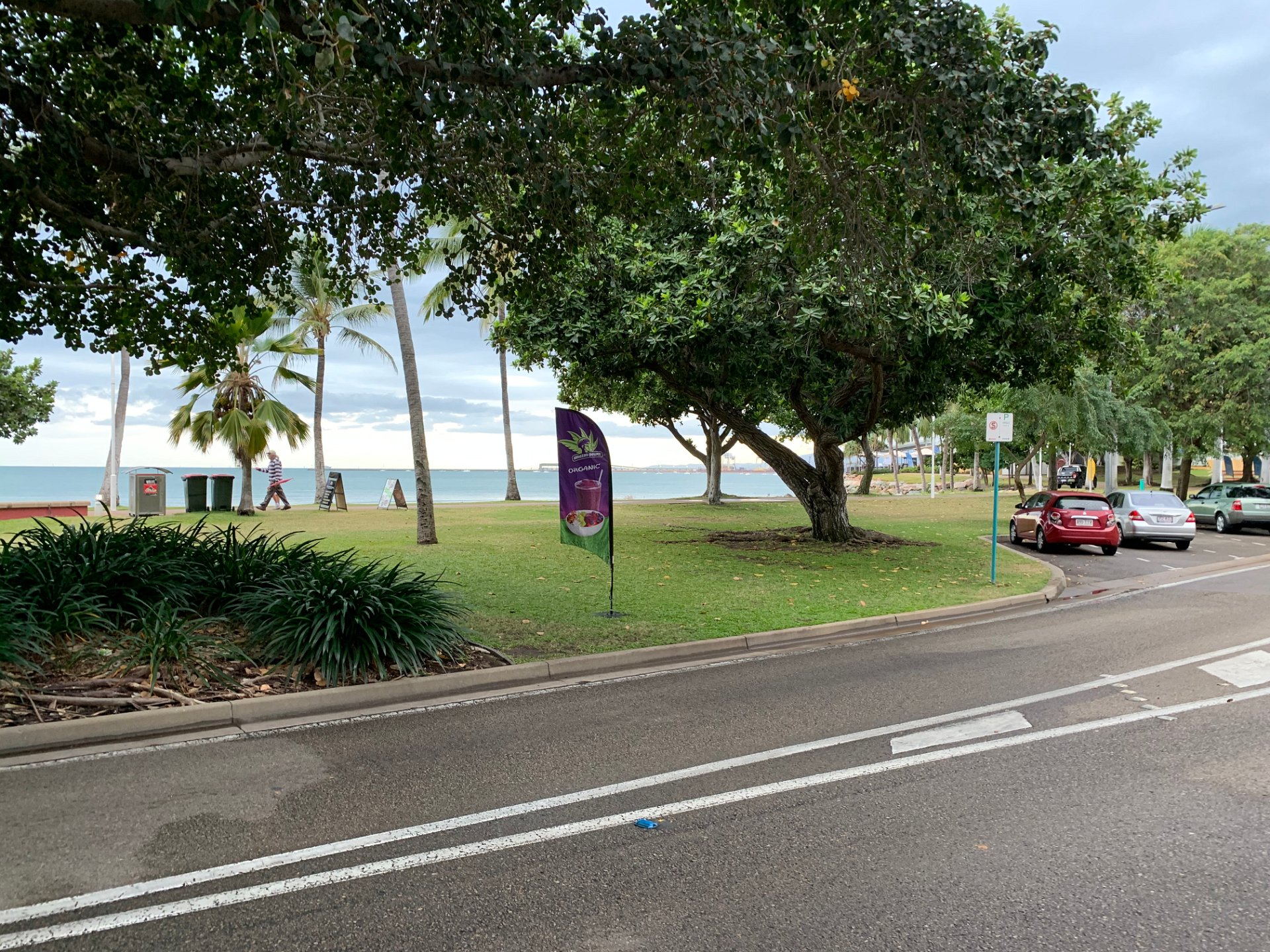
Townsville - Tue 21/07/2020
2020 Far North Queensland
Next:
Mackay - Wed 22/07/2020
Previous:
Cairns - Tue 21/07/2020