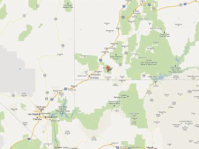
 Thursday 2007-03-08 Nevada We leave Las Vegas after breakfast and head for Zion and Bryce Canyon National Parks. |
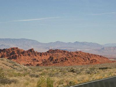 About 20 miles north of Las Vegas, we take a brief detour off I15 to visit the Valley of Fire State Park. |
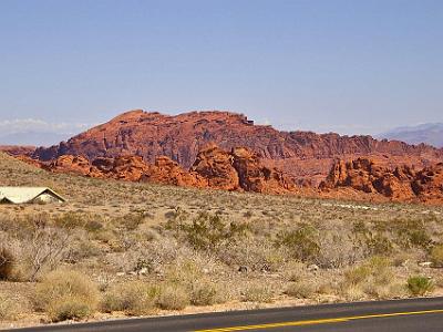 It has the red stratigraphy reminiscent of Monument Valley in Northern Arizona |
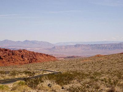 It's very rugged and very attractive. |
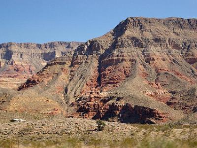 We cross into Utah at St George and the scenery becomes even more spectacular. We stop for a Starbucks coffee in St George township. |
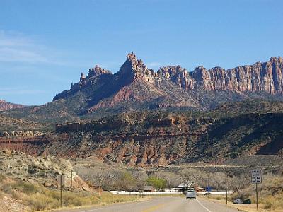 We leave I15 and take SR9 towards Zion National Park. This is Springdale just before the Park Entrance. |
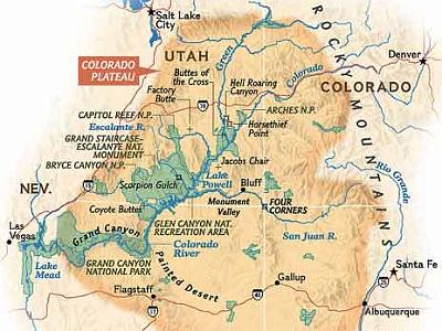 Thursday 2007-03-08 Zion National Park From now until Saturday, we explore the wonders of the Colorado Plateau. The Colorado Plateau is a geologically stable area showing extreme weathering with 90% of its area drained by the Colorado River and its tributaries. |
 Thursday 2007-03-08 Zion National Park The Colorado Plateau has the greatest concentration of national parks in the United States: Grand Canyon NP, Zion NP, Bryce Canyon NP, Capitol Reef NP, Canyonlands NP, Arches NP, Mesa Verde NP, and Petrified Forest NP - and we've been to them all. |
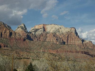 In Zion National Park, you drive along the valley floor and look up at the monuments. |
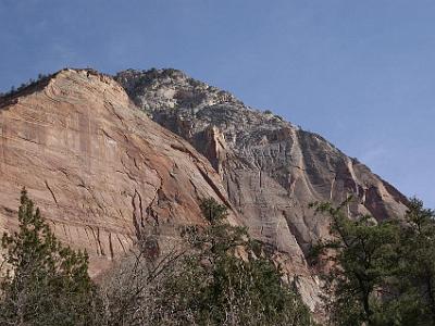 The drive is 10 kms from the park entrance to the northern end at Temple of Sinawava. |
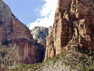 The white stone is Navajo Sandstone that wears quickly and the red cliffs are Kayenta mudstone formation. Dinosaur tracks are relatively common in Kayenta mudstone. |
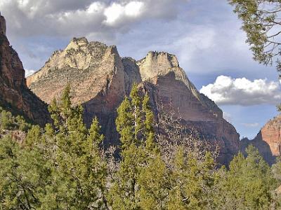 Geologically, mudstone is either siltstone or sandstone the difference being the particle size: Sand particles range in diameter from 0.0625 mm to 2 mm while silt particles are smaller than 0.0625 mm (down to 0.004 mm). This area is called the Court of the Patriarchs. |
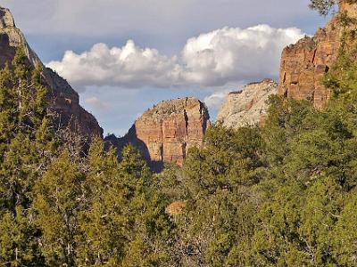 It is late afternoon and the shadows are getting longer. |
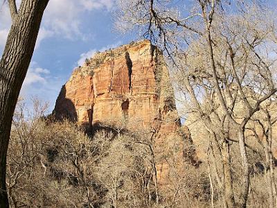 It is also quite cold. |
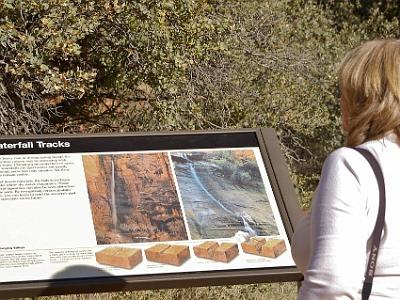 A graphic explains "Waterfalls in Zion plunge 1000 ft or more, mostly ephemeral, leave their tracks, desert minerals leave black streaks" and "the Virgin River's main stream cut faster than tributaries leaving hanging valleys; waterfalls are from the river's former levels". |
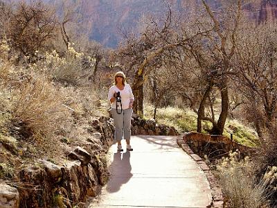 This is the weeping rock area. I climb the trail while Jenni takes movies. |
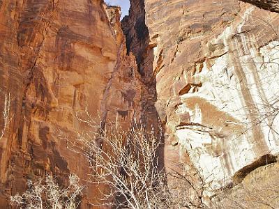 Weeping rocks. |
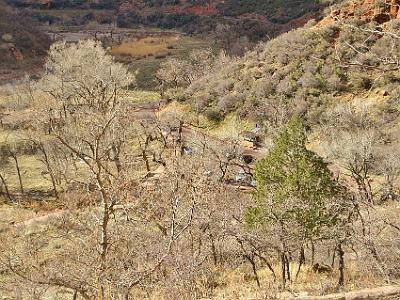 You can just see Jenni in the left side of the picture. Our Edsel is parked below somewhere. |
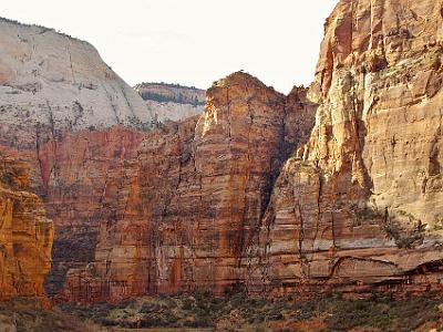 The Navajo sandstone, the white stuff at the top, dates from the Jurassic period about 200 - 145 MYA. The stuff underneath, the Kayenta formation, is (duh) older and also from the Jurassic. All of the rocks are sedimentary, sometimes from sand or mud at the bottom of the sea and other times from desert sands. |
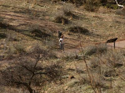 Jenni holds her hand up asking permission to go to the toilet. |
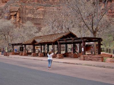 At the end of the trail. |
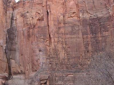 During Kayenta time (early Jurassic, 199 to 175 Mya), Zion was situated in a climatic belt with rainy summers and dry winters at the southern edge of a great desert. The influence of the desert was about to predominate as North America drifted northward into the arid desert belt. |
 Dobber. |
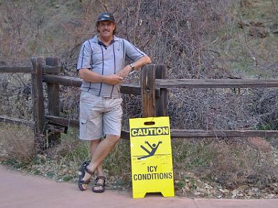 I brave the cold long enough to take this picture. I have been retired for 1 year and 3 months now. |
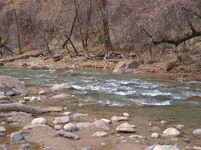 This is the Virgin River responsible for cutting the canyon |
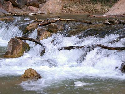 The stream gradient of the Virgin River, whose North Fork flows through Zion Canyon in the park, ranges from 50 to 80 feet per mile. It is one of the steepest stream gradients in North America. |
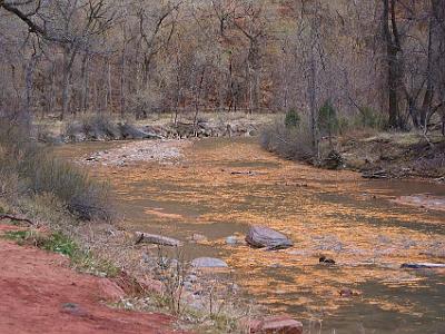 It's a very late March afternoon and the setting sun reflects off the water |
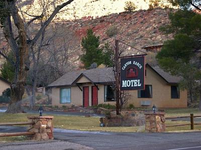 We return to Springdale and find this delightful motel for only $59 a night |
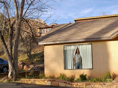 It's one of the best places we've stayed. |
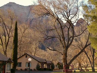 It's in a beautiful location very near the park entrance. |
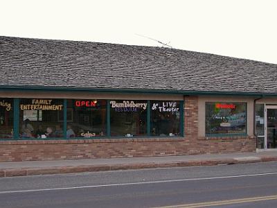 The next morning, we have breakfast in Springdale township. This is where we bought the photograph of Antelope Canyon that hangs in our living room to this day. |
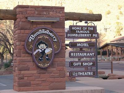 And yes, we did try the famous bumbleberries - in pancakes. Quite nice, a bit like mulberries (if that's not what they are), purple and sweet. |
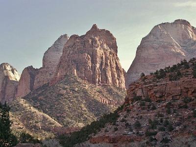 We re-enter Zion to look at it in the early morning. |
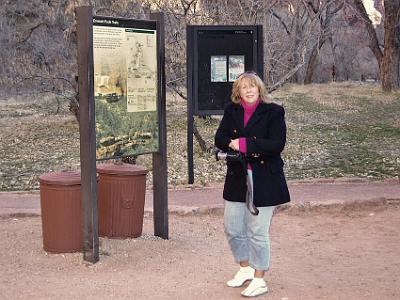 This area, Emerald Pools, is where the Zion Lodge is located. And it's very cold. |
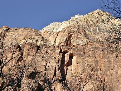 Navajo sandstone is the rounded stuff at the top of most canyon tops in the park |
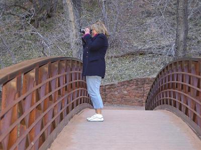 Jenni takes a movie of the burbling stream beneath us - the burbling stream that cut this canyon |
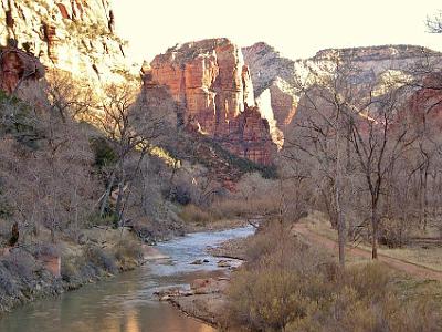 The sun rises in the canyon. There are many walking trails in the park but in designated areas to protect this magnificent asset. The trees beside the river are Fremont Cottonwoods planted to control erosion |
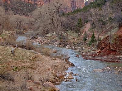 The evergreens, juniper and pine, are widespread throughout Zion. Juniper has a bluish berry-like fruit which takes two years to mature and the bark is fibrous and easily peels off its base. The single-leaf pinion is the common pine seen on the rocky cliff sides in Zion National Park |
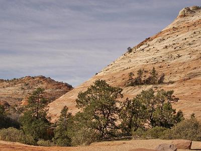 After revisiting Zion NP, we exit the park on SR9 then take US89 to Bryce Canyon NP. |
