
Saturday 2004-04-03 Olympia Washington to Klamath Falls Oregon
Today, we travel down I 5 from Olympia and go inland to look at Mount St Helens (A on the map). Then we continue down I 5 to Eugene and turn inland again intending to see Crater Lake National Park. Unfortunately, it is still closed for the winter so we stop for the night at Klamath Falls. Distance 418 miles today.
Today, we travel down I 5 from Olympia and go inland to look at Mount St Helens (A on the map). Then we continue down I 5 to Eugene and turn inland again intending to see Crater Lake National Park. Unfortunately, it is still closed for the winter so we stop for the night at Klamath Falls. Distance 418 miles today.

Saturday 2004-04-03 Mount St Helens, Washington
We detour 8 kms off I 5 to the Mount St. Helens visitor center. Mount St. Helens National Volcanic Monument is a U.S. National Monument that includes much of the area surrounding the mountain.
We detour 8 kms off I 5 to the Mount St. Helens visitor center. Mount St. Helens National Volcanic Monument is a U.S. National Monument that includes much of the area surrounding the mountain.

Saturday 2004-04-03 Mount St Helens, Washington
The 110,000 acre National Volcanic Monument was set-aside for research, recreation, and education. It was established on August 27, 1982 by President Ronald Reagan following the 1980 eruption of Mount St. Helens.
The 110,000 acre National Volcanic Monument was set-aside for research, recreation, and education. It was established on August 27, 1982 by President Ronald Reagan following the 1980 eruption of Mount St. Helens.

Saturday 2004-04-03 Mount St Helens, Washington
Inside the National Volcanic Monument, the environment is left to respond naturally to any disturbances. The mountain is 4600 ft and it is still active with its most recent activity in 2008. Silver Lake is in the foreground
Inside the National Volcanic Monument, the environment is left to respond naturally to any disturbances. The mountain is 4600 ft and it is still active with its most recent activity in 2008. Silver Lake is in the foreground

Saturday 2004-04-03 Mount St Helens, Washington
Silver Lake is a marsh located about 48 km west of Mount St. Helens. It is home to a nature trail and the Mount St. Helens National Monument visitor center.
Silver Lake is a marsh located about 48 km west of Mount St. Helens. It is home to a nature trail and the Mount St. Helens National Monument visitor center.

Saturday 2004-04-03 Mount St Helens, Washington
A board walk traverses the lake. The lake is 180 acres and was formed by an eruption of Mount St Helens two millennia ago.
A board walk traverses the lake. The lake is 180 acres and was formed by an eruption of Mount St Helens two millennia ago.

Saturday 2004-04-03 Mount St Helens, Washington
Mud flows from the Mount St Helens eruption travelled 45 kms down the Toutle river and blocked a stream to create Silver Lake.
Mud flows from the Mount St Helens eruption travelled 45 kms down the Toutle river and blocked a stream to create Silver Lake.

Saturday 2004-04-03 Mount St Helens, Washington
A sea eagle or osprey has made its nest here which implies a plentiful supply of fish in the lake.
A sea eagle or osprey has made its nest here which implies a plentiful supply of fish in the lake.

Saturday 2004-04-03 Vancouver, Washington
During world war II the hangar was used to house Italian prisoners of war. The museum, Pearson Field and the Fort Vancouver National Historic Site are part of the Vancouver National Historic Reserve.
During world war II the hangar was used to house Italian prisoners of war. The museum, Pearson Field and the Fort Vancouver National Historic Site are part of the Vancouver National Historic Reserve.

Saturday 2004-04-03 Vancouver, Washington
The Pearson Air Museum is an aviation museum at Pearson Field in Vancouver, Washington. The museum specializes in aircraft made before or during WW II. The displays are housed in a wooden hangar built in 1918.
The Pearson Air Museum is an aviation museum at Pearson Field in Vancouver, Washington. The museum specializes in aircraft made before or during WW II. The displays are housed in a wooden hangar built in 1918.
Saturday 2004-04-03 Vancouver, Washington
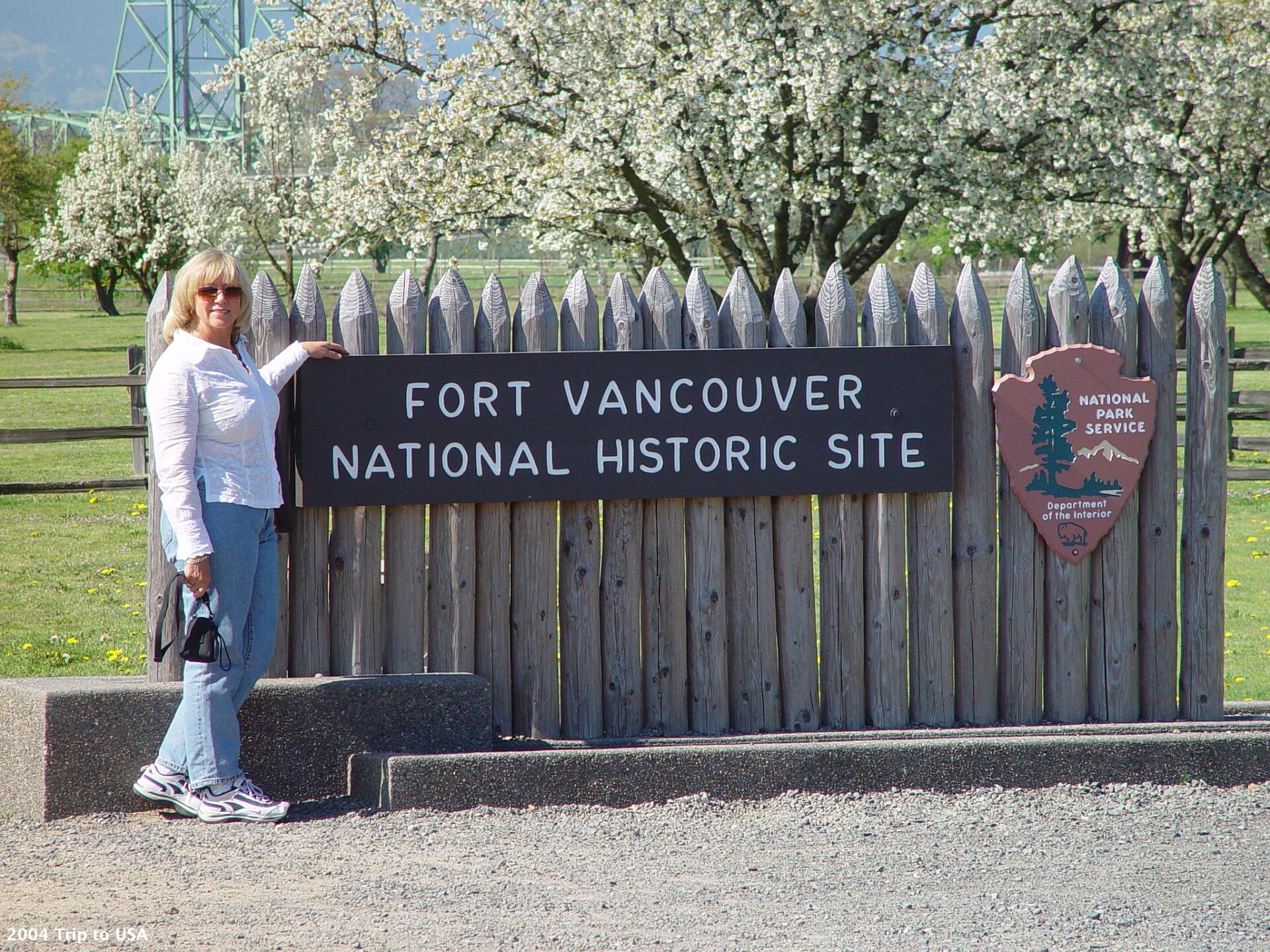
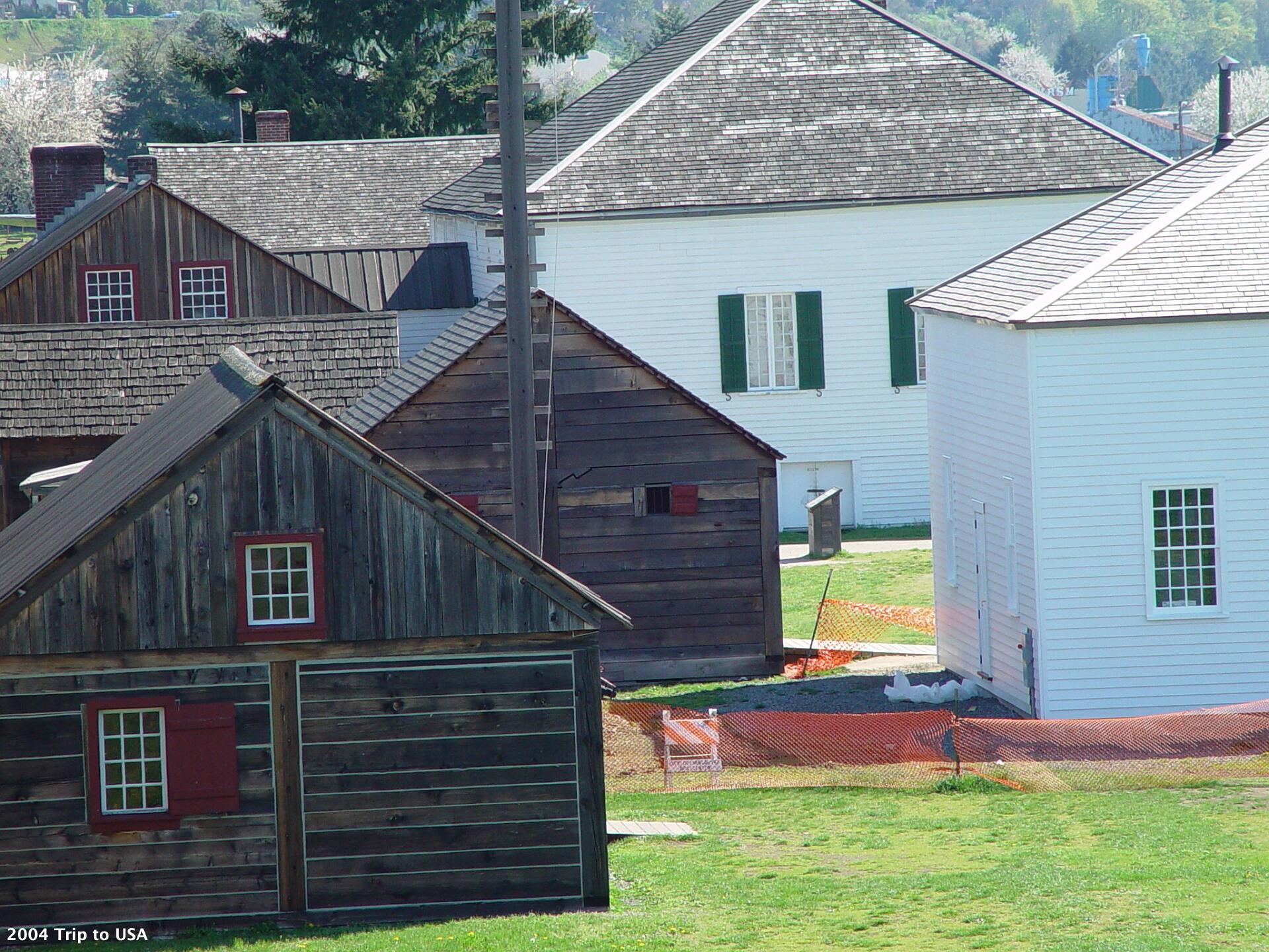
Fort Vancouver was a 19th century fur trading outpost on the Columbia River that was the headquarters of the Hudson's Bay Company.
Fort Vancouver was a 19th century fur trading outpost on the Columbia River that was the headquarters of the Hudson's Bay Company.
Saturday 2004-04-03 Vancouver, Washington
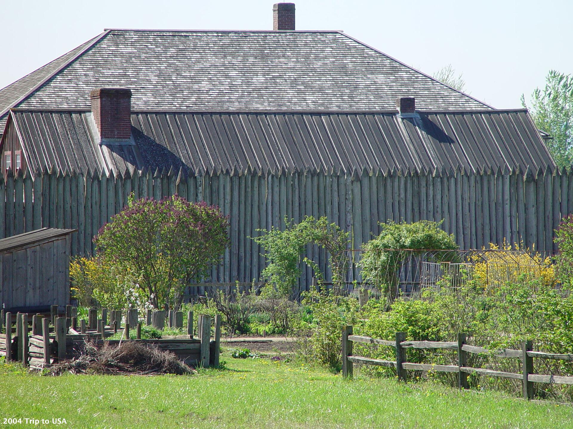
Named for Captain George Vancouver, the fort was located on the northern bank of the Columbia River in present-day Vancouver, Washington. Today, this full-scale replica of the fort, with internal buildings, has been constructed and is open to the public.
Named for Captain George Vancouver, the fort was located on the northern bank of the Columbia River in present-day Vancouver, Washington. Today, this full-scale replica of the fort, with internal buildings, has been constructed and is open to the public.
Saturday 2004-04-03 Vancouver, Washington
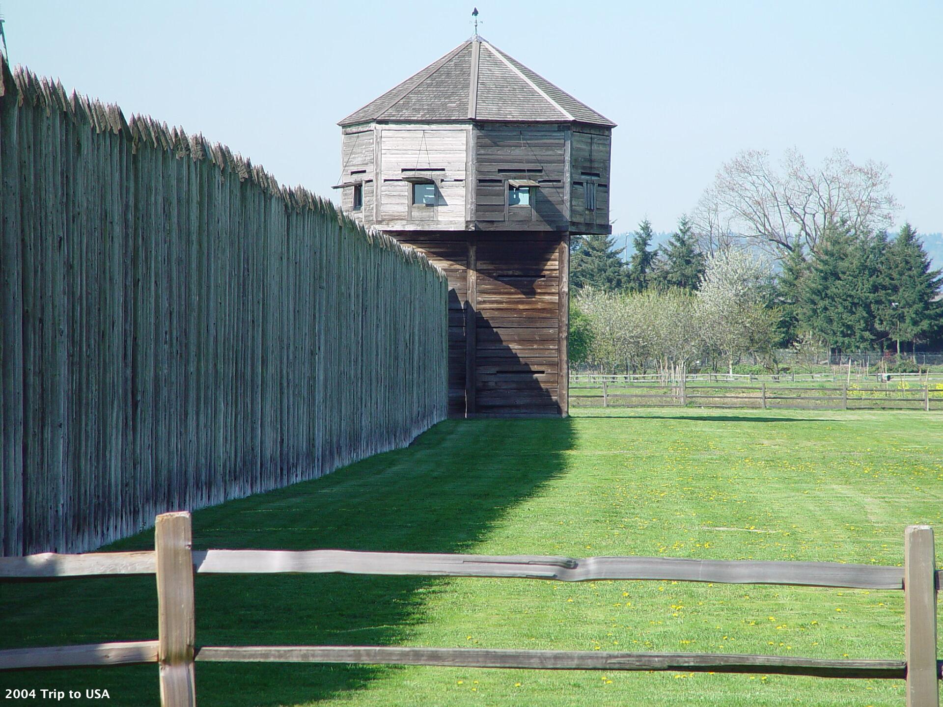
The outpost was established in 1824. At that time, the region was known as the Columbia District to the British and as the Oregon Country to Americans. It was jointly occupied by the US and Britain as agreed to in the Anglo-American Convention of 1818.
The outpost was established in 1824. At that time, the region was known as the Columbia District to the British and as the Oregon Country to Americans. It was jointly occupied by the US and Britain as agreed to in the Anglo-American Convention of 1818.
Saturday 2004-04-03 Vancouver, Washington
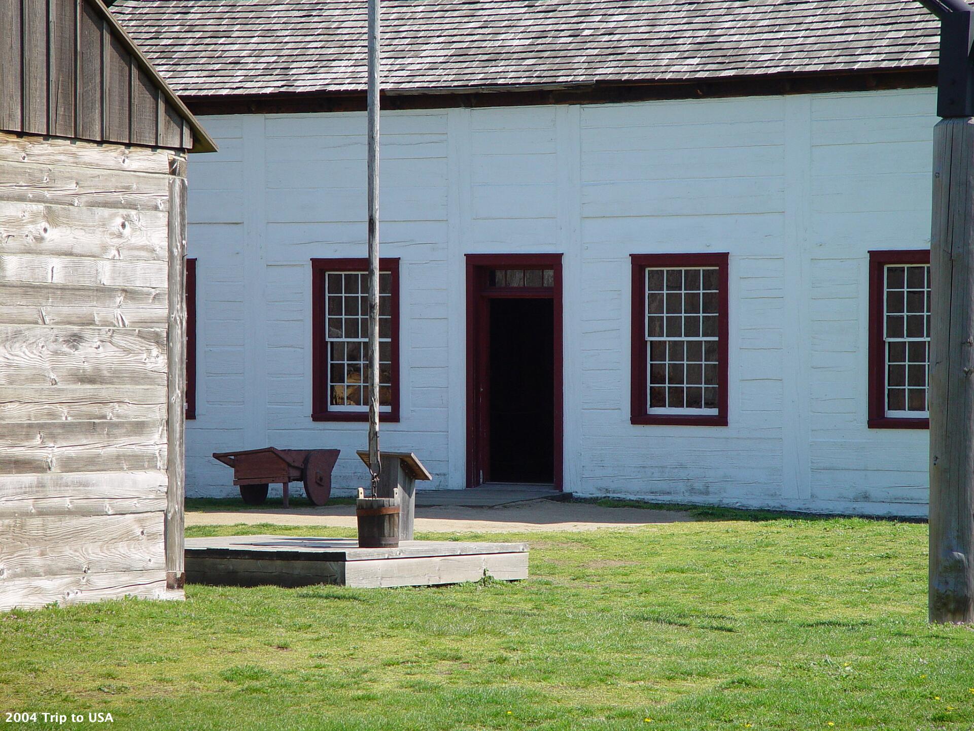
British interests were represented by the Hudson's Bay Company, which had exclusive trading rights to most of the land that is now Western Canada.
British interests were represented by the Hudson's Bay Company, which had exclusive trading rights to most of the land that is now Western Canada.
Saturday 2004-04-03 Vancouver, Washington
On June 14, 1860, the Hudson's Bay Company abandoned Fort Vancouver and moved its operations north of the border.
On June 14, 1860, the Hudson's Bay Company abandoned Fort Vancouver and moved its operations north of the border.
Saturday 2004-04-03 Oregon
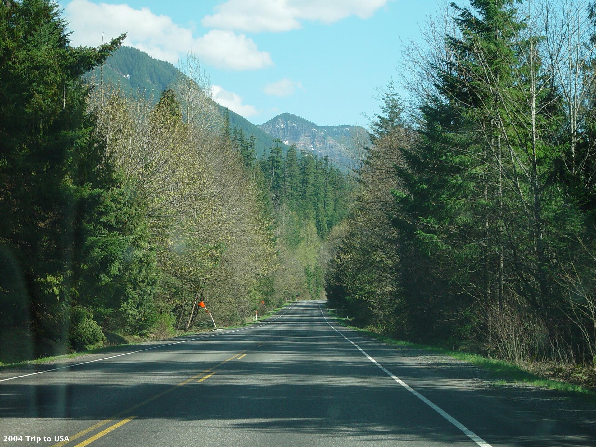
We travel to Eugene Oregon and take SR58 inland heading for the Crater Lake National Park. We climb steadily to about 5000 ft.
We travel to Eugene Oregon and take SR58 inland heading for the Crater Lake National Park. We climb steadily to about 5000 ft.
Saturday 2004-04-03 Oregon
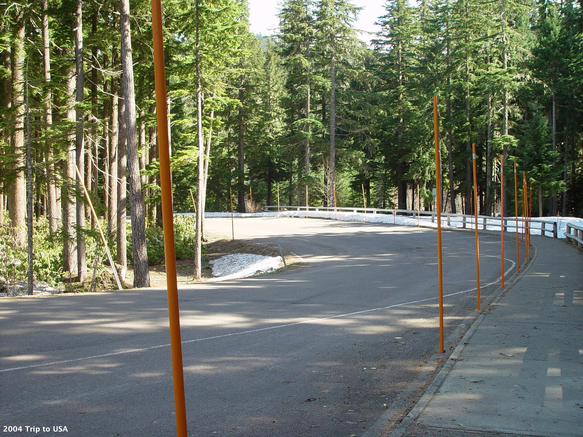
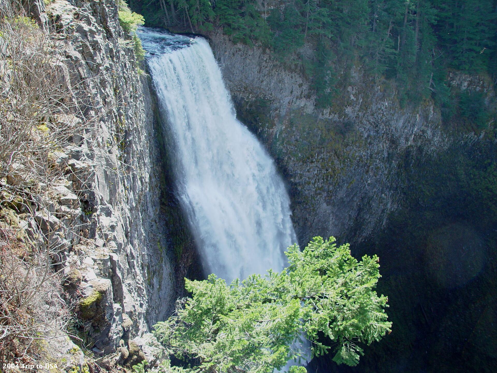
We take a short unplanned detour off SR 58 to see the Salt Creek Falls. It surprises us that there is still snow on the ground.
We take a short unplanned detour off SR 58 to see the Salt Creek Falls. It surprises us that there is still snow on the ground.
Saturday 2004-04-03 Oregon
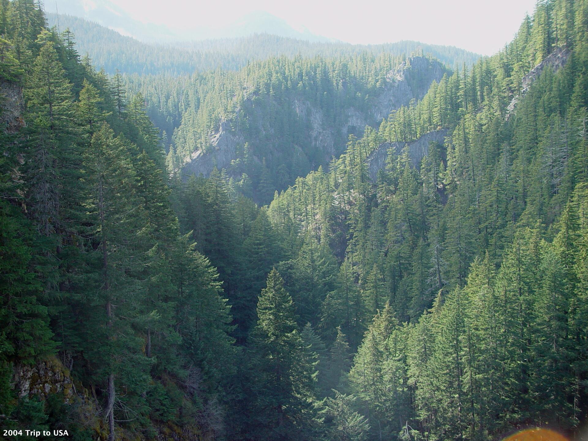
The scenery surrounding Salt Creek Falls is also impressive. From here we continue along SR 58 to US 97 and head south. At Diamond Lake Junction we see a sign advising that Crater Lake NP is closed for the winter, so we continue to Klamath Falls.
The scenery surrounding Salt Creek Falls is also impressive. From here we continue along SR 58 to US 97 and head south. At Diamond Lake Junction we see a sign advising that Crater Lake NP is closed for the winter, so we continue to Klamath Falls.
Saturday 2004-04-03 Oregon
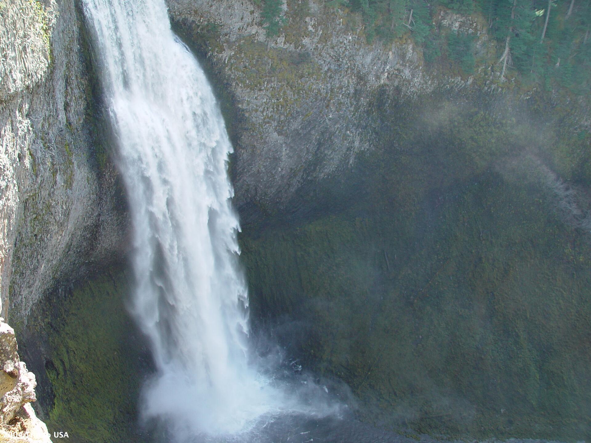
Salt Creek Falls is the second highest falls in Oregon. It is the most powerful waterfall in Southern Oregon with an average yearly flow of about 50,000 gallons per minute (enough water to supply the water needs of a community of 180,000 people).
Salt Creek Falls is the second highest falls in Oregon. It is the most powerful waterfall in Southern Oregon with an average yearly flow of about 50,000 gallons per minute (enough water to supply the water needs of a community of 180,000 people).
Saturday 2004-04-03 Oregon
It takes about four seconds for the interior of the water column to fall the 286 feet to the bottom on the falls.
It takes about four seconds for the interior of the water column to fall the 286 feet to the bottom on the falls.


South to California